Best Beaches in Puerto Rico: 15 Stunning Shores to Visit

Puerto Rico’s shoreline pairs convenient city beaches with island coves, natural pools, and surf breaks. A cruise stop might allow just a few hours, while an island itinerary can make room for a quieter shore. A rip current is a fast-moving channel of water flowing away from shore.
This list helps you weigh travel time, beach style, and coastal safety before choosing a stop. Some shores suit lounging, some invite snorkeling, and others are known for waves. A beautiful view alone cannot tell you whether swimming is safe.
The best match is the shore whose access and water conditions fit the day you have planned.
Key Takeaways
- San Juan and Carolina offer convenient urban beach time.
- Luquillo is a family-oriented main-island pick among the beaches compared.
- Culebra and Vieques need separate island plans.
- West-coast beaches suit surf fans and lively outings.
- Check local water and surf conditions before swimming.
How to Choose a Beach Region for Your Trip
A short San Juan stay points toward urban shores, while Culebra and Vieques call for a separate island plan. Your home base helps narrow the beaches that fit your trip, whether you want a quick swim or a day on the road.
A map should separate the main island from Culebra and Vieques, not suggest every beach is a quick drive from San Juan. The regions below offer a simple way to read Puerto Rico’s coastline before you set out.
| Region | Geographic anchors | Typical access | Best fit |
|---|---|---|---|
| San Juan and Carolina | Urban coastline | City stay or short visit | Convenient beach time |
| North coast | Luquillo and Manatí | Main-island road trip | Family stops and unusual coves |
| Offshore islands | Culebra and Vieques | Separate island outing | Snorkeling and quieter shores |
| West coast | Aguadilla and Isabela | Main-island drive | Surfing and lively beach days |
Mark whether a beach sits on the main island or offshore before you plan the day.

San Juan and Carolina make a practical base when your schedule is tight. The north coast links Luquillo and Manatí, while Aguadilla and Isabela suit a west-coast drive. Offshore island visits need their own travel plan.
- Choose a home base for the night.
- Decide whether an island transfer fits the day.
- Check the forecast before setting out.
Mark the departure point first, because the same beach day can require very different travel time from different bases.
Best Beaches in Puerto Rico on the Main Island
For an easy family-oriented stop, Luquillo’s reef-protected shore is the clearest main-island starting point. Of these three, Luquillo offers the gentler beach day, while the other picks stand out for scenery and shape.
Luquillo is the family-oriented choice among these three, but check surf and water conditions before swimming. The main island has white sand, waves, snorkeling spots, and striking coast views, but each beach has its own limits.
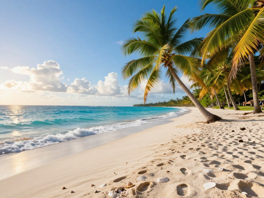
- Luquillo Beach: An offshore reef helps shelter the shore from rough Atlantic swell. Nearby food kiosks make it an easy place to stretch a beach day.
- Playa Sucia: Also called La Playuela, this shore sits near the Cabo Rojo lighthouse. Limestone scenery gives the area a dramatic coastal feel.
- Mar Chiquita: Limestone near shore forms an unusual natural pool shape. Its enclosed look is memorable, though the water and rocks need respect.
Luquillo’s reef makes it a more family-friendly choice than a fully exposed shore, not a promise of calm conditions. Waves and local conditions can still change. Playa Sucia works better for a scenic outing than a quick stop near San Juan.
At Mar Chiquita, admire the rock formations from a safe position when surf is running high.
Which San Juan Beaches Are Closest to the Cruise Port?
Escambrón is the strongest all-around choice when a cruise stop leaves only a few hours for a beach visit. Its mix of access and facilities makes it practical, and Playa Peña is another walkable option from the port.
Escambrón is an 8-minute drive from the Old San Juan cruise piers and 6 minutes from the Pan American Pier. The walk from the Old San Juan piers takes about 35 minutes through Old San Juan and along Paseo Puerta de Tierra.
| Route | Beach | Drive time | Useful detail |
|---|---|---|---|
| Old San Juan piers | Escambrón | 8 minutes | 35-minute walk through Old San Juan and along Paseo Puerta de Tierra |
| Pan American Pier | Escambrón | 6 minutes | Walk takes 36 minutes; taxi is practical in traffic |
| Pan American Pier | La Playita del Condado | 6 minutes | Sheltered cove option |

The 8-minute drive to Escambrón from the Old San Juan piers compares with a 35-minute walk. From the Pan American Pier, walking takes 36 minutes, and a taxi can be more practical in traffic.
La Playita del Condado is a 9-minute drive from the Old San Juan piers. Playa Peña sits across from the Capitol Building and is reachable on foot from the San Juan cruise port.
The Puerto Rico Tourism Company explains the locations of San Juan’s cruise terminals. Escambrón has restrooms, rinse stations, and both sandy and rocky shoreline sections.
A walk to Playa Peña is a real option, but not every port-to-beach walk is equally convenient. Leave time to get back through port-area traffic before your ship’s departure.
Which San Juan Beaches Suit Swimming or Lounging?
Condado is the better match for an urban resort atmosphere, while Ocean Park offers a longer, more residential stretch. For a swim, neither beach should be judged by its view alone.
Condado’s rocky nearshore patches make it better suited to lounging than swimming. Ocean Park extends for 2 miles and can have stronger currents, especially on windy days.

Condado Beach for an urban resort scene
Condado puts you near hotels, restaurants, and the city’s busy streets. It feels connected to San Juan, so it can suit a beach break between other plans.
Rocky patches near shore are a reason to treat it as a lounging spot first. A calm-looking patch of water can still hide hazards under the surface.
Ocean Park Beach for a quieter residential stretch
Ocean Park feels more residential and stretches farther than Condado. Locals and visitors share the long shoreline, which can make it a pleasant place to walk or relax.
Stronger currents can make Ocean Park less suitable for swimming on windy days. Conditions can also shift from one part of a beach to another, so do not read a pretty view as a safety signal.
Choose a protected swimming spot rather than entering rough water simply because other visitors are in it.
What Should You Know Before Visiting Isla Verde Beach?
Isla Verde combines three beach settings along one convenient Carolina shoreline. The three stretches are El Alambique, Pine Grove Beach, and Balneario de Carolina, covering 3 miles in total.
Isla Verde Beach is in Carolina, about 15 minutes east of San Juan and 12 minutes from the cruise port. Palm trees, city access, and different shore styles make this area useful for visitors with varied plans.
El Alambique for a laid-back central stretch
El Alambique gives you a central stretch within the wider Isla Verde Beach area. It works for a relaxed stop when you want a seaside break without leaving the Carolina coast.
The shoreline is close to San Juan, but the three sections do not offer the same setup. Check which stretch suits your plans before you head out.
Pine Grove Beach for surf and paddling
Pine Grove Beach is the surf and paddling choice in this three-part area. Its water draws people looking for more activity than a simple lounge on the sand.
Pine Grove has no lifeguards. Adults must supervise children continuously, since no lifeguard is watching the shore.
Balneario de Carolina for facilities
Balneario de Carolina sits off Route 187, just north of the airport. Parking is available for a fee, and the public beach facility has showers, restrooms, and picnic facilities.
The Balneario also has monitored water quality and is managed by the Puerto Rico National Parks Company. Those amenities make it a useful choice when you want more than an open stretch of sand.
If a child is swimming at Pine Grove, keep an adult actively supervising rather than relying on a lifeguard.
Which Culebra Beach Fits Your Day?
Flamenco is the easier pick for a classic sandy beach day, while Tamarindo better suits a quieter snorkeling outing. Choose by shoreline: one is known for soft white sand, the other for rocky water access.
Flamenco’s entrance has a calmer area on its left side. Tamarindo has no facilities, so it takes more planning even though its quieter setting may appeal to snorkelers.
Flamenco Beach for white sand and swimming
Flamenco Beach is known for soft white sand and clear turquoise water. The area near the entrance on the left side is often the calmer place to swim.
It is a strong choice for a classic Culebra beach day, with room to settle in on the sand. Still, check local conditions rather than assuming the whole shore stays calm.
Tamarindo Beach for snorkeling and sea turtles
Tamarindo is rockier and quieter, with coral and sea turtles offshore. Its snorkeling draws visitors who want to look below the surface rather than spend the day on broad sand.
NOAA describes how pollution linked to coastal growth harmed some Culebra reefs, with coral declining by 30% at some nearshore sites from 1997 to 2003. Its Culebra coral reef report also explains how runoff can affect reef habitats.
| Beach | Shore character | Best fit | Practical note |
|---|---|---|---|
| Flamenco | Wide sandy shore | Classic beach day | Calmer area near entrance on left |
| Tamarindo | Rockier shoreline | Quiet snorkeling outing | No facilities |
| Luis Peña Key | Small beach | Strong snorkeling | Access by chartered boat |
Bring what you need for Tamarindo because there are no facilities there.
Which Vieques Beaches Match a Quiet Day?
La Chiva is the strongest choice for a long, quiet-feeling shoreline, while Sun Bay is an easier beach stop near town. Caracas Beach offers calm water and picnic pavilions inside the wildlife refuge.
La Chiva stretches 1.5 miles along Vieques’s southern coast and requires a dirt-road drive through Vieques National Wildlife Refuge. Vieques feels more remote than a San Juan beach stop, so plan for the island outing before setting out.
La Chiva for a long, clear-water shoreline
La Chiva’s long coast has clear, shallow water near shore and seagrass farther out. The dirt road through the refuge adds to the remote feel, though it also means access takes some care.
This is a strong match if your idea of a quiet day includes a long shore and fewer signs of town nearby. Its road setting is different from beaches with easy access and picnic services.
Sun Bay for an accessible crescent of sand
Sun Bay forms a palm-lined crescent near Mosquito Bay. The curved beach gives you a more accessible-feeling stop than La Chiva’s road through the refuge.
Its shape and proximity to Mosquito Bay make it an easy one to pair with other plans on Vieques. You can choose it when you want a broad sweep of sand without seeking a remote shoreline.
Caracas Beach for a calm refuge setting
Caracas Beach sits in Vieques National Wildlife Refuge and has calm, clear water with picnic pavilions. It offers basic amenities while keeping you within a protected natural setting.
Caracas can be popular, so arriving earlier can help you enjoy a quieter visit. That is a different kind of beach day from La Chiva, where the appeal is a long, remote-feeling coast.
Check road and access conditions before driving into the refuge for a remote beach visit.
Where Can You Surf and Enjoy a Lively West Coast Beach Day?
Crash Boat is the livelier pier-side stop, while Jobos is the clearer pick for a surf-centered day. Both west-coast beaches have a strong local feel, but they offer different ways to spend time by the water.
Crash Boat suits visitors drawn to a busy pier and vendors; Jobos suits surfers and people seeking a more active surf-side scene. Neither beach’s reputation makes it a default swimming choice.
Crash Boat Beach for a pier-side scene
Crash Boat has a long pier and beach vendors. Its name comes from its history as a rescue port for aircraft crashes, which explains the unusual name.
The pier gives the shore a clear focal point, while vendors add to its busy beach-day feel. Visitors may come for the scene as much as for time in the water.
Jobos Beach for surfing and beach bars
Jobos Beach in Isabela is known for surfing, a cliffside setting, and nearby beach bars. It suits a day built around waves and a lively stretch of coast.
Crash Boat fits a group that wants a pier, vendors, and a social shore. Jobos is a better fit for surfers and visitors who want beach bars close by.
Nearby restaurants can round out a west-coast outing, but the wave forecast should shape your water plans. Treat surf conditions as a safety decision, not just an activity forecast.
How Can You Stay Safe in Puerto Rico’s Surf?
A high rip-current forecast is a reason to stay out of the water, even if the beach looks calm. High risk means life-threatening currents are likely in the surf zone.
Stay out of the water during a high rip-current risk forecast. Currents can still be dangerous near groins, jetties, reefs, and piers, even when the forecast risk is low.
| Forecast level | Meaning | Action |
|---|---|---|
| High | Life-threatening currents likely | Stay out of the water |
| Moderate | Currents can be dangerous | Use extra caution and follow local guidance |
| Low | Risk is lower, not zero | Remain alert near structures and reefs |
Puerto Rico’s coastal waters can also be dangerous because of tidal changes and strong currents. Local authorities, residents, and tour operators can help you learn about hazards at an unfamiliar shore.
The National Weather Service’s October 27, 2026, surf forecast is a dated snapshot, not a current forecast. It warned of high rip-current risk at north-facing beaches through at least early October 28.
On October 27, breaking waves around 7 feet or greater were possible on the most exposed beaches. A High Surf Advisory covered the northern coast from Rincón to Fajardo through 6 p.m. AST, with hazardous surf expected through that evening.
- Check local forecasts and beach flags.
- Obey warnings from local authorities.
- Ask residents or tour operators about local hazards.
- If caught in a rip current, swim parallel to shore, then return when possible.
Check the latest local alert before entering the water. Never try to swim directly against a rip current.
How Do You Check Beach Water Quality and Public Access?
A water-quality indicator answers a different question from a surf forecast. Check both before you swim, since clean water measurements do not show whether waves or currents are dangerous.
CARICOOS sets the Beach Action Value at 70 MPN CFU/100 ml. Green graph bars show measurements below that value, while yellow bars show measurements above it.
Use the indicator as a water-quality check, not a signal about wave height or rip currents. The color gives you a quick reading against the set value, while local surf warnings address a separate risk.
- Check the latest beach-water measurement.
- Compare the graph color with the 70 MPN CFU/100 ml value.
- Follow any posted local warning.
Public access does not make every route lawful or every swim safe.
All beaches in Puerto Rico are open to the public by law. Use lawful public access routes when reaching the shore, and follow local signs about where to enter.
Check both water-quality information and local surf warnings before deciding to swim.
Conclusion
A memorable beach day starts with matching the shore to the kind of outing you want. Convenience, snorkeling, scenery, and surfing each point toward a different kind of Puerto Rico beach.
Current conditions belong in that choice, too. A favorite shoreline can feel different when wind, waves, or water conditions shift during your trip.
Choose a beach near your trip’s base, then check local conditions before leaving. That small step can save time and help you make a better call once you arrive.
Pick your first stop, check the day’s local conditions, and leave room for a change of plan.
FAQ
What part of Puerto Rico has the coolest weather?
The mountainous interior generally has the coolest weather in Puerto Rico. Higher elevation brings cooler conditions than the coastal areas, where low elevations and sea air shape the climate. Temperatures can also shift with rain and cloud cover. If you want a break from beach heat, plan time in the central highlands.
What are some of the best coastal towns in Puerto Rico?
Rincón, Isabela, Luquillo, and Fajardo are useful coastal bases. Rincón and Isabela suit west-coast beach days, including surf outings. Luquillo works well for north-coast stops, while Fajardo offers a base near eastern shores and offshore trips. Choose a town that keeps your main beach plans close, rather than crossing the island each day.
What is the nicest beach in Puerto Rico?
Flamenco Beach on Culebra is a strong pick for soft white sand and turquoise water. Its classic island setting makes it a favorite for visitors who want a scenic beach day. The best choice still depends on your plans and the day’s conditions. A calm-looking bay, easy access, and safe swimming are not always the same thing.
What I wish I knew before going to Puerto Rico?
Beach access is public, but surf, tides, and currents can change the safest choice for the day. A beach that looks calm may still have strong moving water, while conditions can differ along one shore. Plan travel time around your home base, too. An offshore island beach needs a separate outing, not just a quick drive from San Juan.
What should I be careful of in Puerto Rico?
Pay close attention to rip-current and surf alerts, follow local warnings, and ask about hazards at unfamiliar shores. Strong currents can occur near reefs, piers, and other structures. Do not enter the water during a high-risk forecast. A local beach flag or warning can change your plan, even when the sky looks clear.
How much is $1 in Puerto Rico?
One U.S. dollar is worth one dollar in Puerto Rico because the island uses the U.S. dollar. You do not need to exchange money or calculate a currency conversion for everyday purchases. Your costs can still vary by where you eat, stay, or travel. Check prices in dollars when planning your trip budget.
About The Author