Best Places to Hike: 15 Scenic Trails Across the U.S.
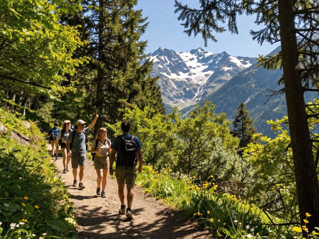
A rewarding U.S. hike might follow a waterfall, cross a desert canyon or climb toward an alpine view. The best places to hike offer something different in every region, from forest paths to coastal routes and city-accessible green spaces.
This guide features 15 scenic trail picks across the country. You can compare short outings, strenuous day hikes and backpacking options, then consider the season, available days, crowds and access. Elevation gain means the total uphill climbing on a route, regardless of its starting elevation.
Trail conditions and access can change with weather, repairs or land rules. Check with the responsible park or land manager before setting out, especially for remote routes. A little planning can help you choose a route that fits your time and comfort level.
Key Takeaways
- Match trail distance and elevation gain to your fitness and available time.
- Choose scenery that appeals to you, from waterfalls and forests to desert rock.
- Check access, closures, permits and weather before you leave.
- Plan food, water and overnight stays for longer routes.
- A short hike can still include steep, exposed or slippery terrain.
Choose a route that fits your available time, fitness and appetite for exposed or rugged terrain.
Best Places to Hike in Texas for Forests and Hill Country
Texas offers a striking range, from East Texas woods to Hill Country backcountry and Dallas-area green spaces. The Lone Star Hiking Trail runs 96 miles through East Texas forest, while other hikes suit a shorter day or camping trip.
Match your route to its surface, distance, facilities and current access, not just its drive time. Hill Country State Natural Area covers more than 5,000 acres near Bandera and has three backcountry camping areas. A roughly three-mile hike leads to its Wilderness Campground.

The Lone Star can be a multi-day undertaking: a team hiked 46 miles over six days in 2025-2026. For rugged desert terrain, the route from Puerto Chilicote Trailhead to Chorro Vista at Big Bend Ranch State Park is about six miles.
Dallas-area trails range from Cedar Ridge Preserve’s nine miles of loops across 600 acres to the wetlands and birding at Trinity River Audubon Center. Cedar Hill State Park has Talala, Plum Valley and Duck Pond trails. The Texas Buckeye Trail in Trinity Forest was about three miles in 2023, and its distance remains a work in progress.
Cedar Hill State Park’s trail details list route lengths and describe its prairie and escarpment habitats. Oak Cliff Nature Preserve has more than eight miles of trails across 121 acres; Bachman Greenbelt has a one-mile forest-and-meadow loop.
For a “near me” hike, compare the route’s surface, loop length, facilities and current access before deciding it suits you.
Use these four checks to compare routes, whether you are looking for the best places to hike near Texas or a trail near home:
- Drive time to the trailhead
- Trail distance and loop length
- Elevation gain along the route
- Water availability on the trail
For an overnight in the Hill Country, confirm the camping area and current access before choosing your route.
What Makes the Trans Catalina Trail a Memorable Coastal Hike?
Catalina’s coast rewards hikers willing to trade an easy beach walk for a sustained island crossing. The Trans Catalina Trail is a demanding traverse, with coastal views and 38.5 miles of trail distance.
The route gains 8,000 feet of elevation, so treat it as a multi-day hike or an ambitious long-distance outing. Its repeated climbs make it much more than a casual shoreline stroll, even for hikers who are used to long days.

California offers coastal routes like this one as well as inland mountain hikes. Choose based on the scenery and effort you want, not only the map’s mileage.
Plan daily stages before starting. Your pace on steep climbs can affect where you stop and how much time you need each day.
Island logistics shape the itinerary. Arrange lodging or camping, food and water in advance, and make sure each overnight stop fits your planned route.
Check how you will reach the trail and what services will be available during your trip. An island route can require more advance planning than a day hike near a road.
The trail’s cumulative climbing makes a conservative daily plan useful, especially if you have not hiked several days in a row. Give yourself enough time to enjoy the coast without pushing your pace.
Set daily mileage around your climbing pace and confirm overnight arrangements before departure.
Where Can You Hike in Angeles National Forest?
Millard Canyon Falls is the most compact waterfall hike among these Los Angeles-area options. Its short route covers 1.5-2.8 miles and gains 560 feet.
Good Angeles National Forest-area hikes include Echo Mountain and Millard Canyon Falls; Bridge to Nowhere is a longer outing near Azusa. Echo Mountain offers a broad range of route lengths and climbing demands.
| Trail | Distance | Elevation gain |
|---|---|---|
| Millard Canyon Falls | 1.5-2.8 miles | 560 feet |
| Echo Mountain Trail | 5.6-10 miles | 1,460-2,740 feet |
| Bridge to Nowhere | 10 miles | 1,250 feet |
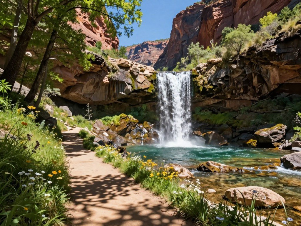
Bridge to Nowhere offers a longer day out from Azusa. The Hollywood Sign hike is another Los Angeles option, while Malibu adds Solstice Canyon and Sandstone Peak.
Mount Baldy and San Gorgonio are much bigger tests. Their long routes and substantial elevation gain suit experienced hikers ready for a demanding day, not a quick local outing.
Route options in the Angeles National Forest area vary in both distance and climb. Echo Mountain can mean a shorter or longer hike, depending on the route you take.
Check current trail and road access before driving to a trailhead in the Angeles National Forest.
Which Yosemite Hike Fits Your Day?
The Mist Trail is the clearest fit if waterfalls are your priority, while Clouds Rest is the longer high-country challenge. Your turnaround point can make a major difference in the day’s effort.
You can enjoy a scenic Yosemite day hike without attempting Half Dome. Waterfall routes, a short dome walk and high-country trails each offer a different kind of outing.

Mist Trail waterfall turnarounds
The Mist Trail reaches the top of Vernal Falls after about three miles. Continuing to the top of Nevada Falls makes the route about seven miles.
Stopping at Vernal Falls gives you a shorter outing than continuing to Nevada Falls. The two turnarounds let you choose based on time, energy and how far you want to climb.
The route’s waterfalls are a strong reason to choose this trail, but the longer option calls for more time. Do not treat the mileage as a round-trip figure.
High-country routes for a longer day
Lembert Dome is about three miles, offering a shorter walk to a granite feature. Clouds Rest makes a longer day, with 13 miles of trail and around 2,500 feet of elevation gain.
Half Dome is the most demanding choice here. Its summit hike is 16 miles round trip with 4,800 feet of elevation gain.
A permit is required when Half Dome’s cables are installed. The cables are installed from late May to mid-October, making permit planning part of the route choice during that period.
Half Dome’s length, climb and cables call for careful planning. You can still have a full Yosemite day on the Mist Trail, Lembert Dome or Clouds Rest.
Check the park’s current permit and trail-status information before committing to a Half Dome itinerary.
Which California Hikes Beyond Yosemite Are Worth the Effort?
California’s strongest alternatives to Yosemite range from a Lake Tahoe shoreline walk to a high Sierra lake climb. The Rubicon Trail follows Lake Tahoe, and its distance depends on whether you use a shuttle.
Choose by scenery and effort: shoreline, desert dunes and an alpine lake are very different days out. The Rubicon Trail is five miles with a shuttle or 10 miles without one.
Lake Tahoe also draws visitors to its water. You can compare shoreline hiking with kayak rentals on Lake Tahoe if you want to spend time on the lake itself.
Kelso Dunes in Mojave National Preserve is a shorter desert option, at three to four miles round trip. Sand and open terrain give it a different feel from a shoreline route.
The hike to Second Lake on the North Fork of Big Pine is a longer, steeper challenge. It covers about nine to 10 miles and gains 2,500 feet.
California ranges from Sierra Nevada peaks to desert. Local weather and water conditions matter most in exposed areas, where you may have little shade.
There is no single statewide pick for every hiker. Decide whether you want water and shoreline, sand dunes or an alpine lake, then match the effort to your plans.
Decide on the shuttle before setting out on the Rubicon Trail because it changes the return distance.
Where Can You Find Waterfall Hikes in the Pacific Northwest?
The Columbia River Gorge and Silver Falls State Park are the region’s clearest choices for waterfall scenery. The Gorge stretches 80 miles and is known for more than 30 waterfalls.
The Trail of Ten Falls at Silver Falls follows a loop past multiple cascades. The area pairs forest walks with waterfalls, while North Cascades routes offer a very different kind of mountain day.
Cascade Pass in North Cascades National Park is 7.4 miles round trip with 1,800 feet of elevation gain. The trail climbs toward mountain and glacier views.
Continuing from Cascade Pass to Sahale Glacier Camp adds 4.4 miles and 2,300 feet of elevation gain. That extension makes the hike substantially longer and steeper.
The National Park Service describes Cascade Pass and Sahale Arm as a steady climb followed by steep terrain through meadows and talus.
For a waterfall walk, check these three conditions before you choose a route:
- Current waterfall flow
- Trail closures
- Wet or slippery footing
Waterfall flow changes, and a trail can feel different after rain. Do not assume a cascade will look the same every season.
Check for trail closures and slippery conditions before choosing a waterfall route.
Which Rocky Mountain Hike Matches Your Ambition?
A section of the Colorado Trail is the most flexible choice, while Longs Peak and Kings Peak are summit-focused challenges. Pick your scale before deciding how much time to set aside.
High elevation and boulder or scrambling terrain can make fitness alone an incomplete measure of readiness. Rocky Mountain National Park has alpine lakes and high-altitude terrain; Maroon Bells is known for glacial valleys and fall aspen color.
The Colorado Trail runs 486 miles and is divided into 33 sections. You can tackle one section at a time rather than planning a continuous thru-hike.
| Route | Distance | Terrain or objective |
|---|---|---|
| Colorado Trail | 486 miles | Long-distance route divided into sections |
| Longs Peak | 15 miles | Summit hike in Rocky Mountain National Park |
| Kings Peak | 25 miles | Utah high-point summit hike |
Longs Peak is a summit hike in Rocky Mountain National Park. Kings Peak is Utah’s highest mountain, rising more than 13,500 feet.
These summit routes ask for more than strong legs. Boulder fields, scrambling and thin air can change how long the hike takes and how hard it feels.
The Colorado Trail allows a different plan: choose a section that fits your trip, then build from there. A summit goal needs careful preparation for its specific terrain.
Choose a high-elevation objective only if you have time to prepare for its terrain and altitude.
How Should You Choose a Grand Canyon Day Hike?
Cape Royal is the short viewpoint choice, while a South Kaibab descent demands experience, supplies and a realistic return plan. The return climb is a key part of any canyon hike.
A rim-to-river day hike is appropriate only for extremely fit hikers with desert-hiking experience, enough food and water, and a first-light start. There is no water along South Kaibab Trail.
A short rim outing or a canyon descent
Cape Royal Trail on the North Rim is one mile round trip to a viewpoint. On a canyon descent, you can turn around at any point instead of continuing toward the river.
South Kaibab Trail covers seven miles one way from the South Rim to the Colorado River, descending 4,780 feet. Bright Angel Trail is 9.5 miles and climbs almost 4,500 feet from the river to the South Rim.
Those figures describe different directions and conditions. South Kaibab is the descent toward the river; Bright Angel is the uphill route back to the rim.
What to carry for a longer descent
Heat and the uphill return make a rim-to-river day a serious undertaking. Pack adequate food and water, and begin at first light.
Before a descent, check these three things:
- Forecast and temperature
- Water availability
- Turnaround time
A short rim outing gives you more control over how far you walk. A deep descent commits you to a much harder return.
Turn around before fatigue or heat compromises the uphill return.
Which Utah National Park Trail Is Right for You?
Choose Angels Landing for an exposed ridge and permit-controlled summit, or Bryce Canyon for a loop among hoodoos. Your comfort with exposure can settle the choice.
Angels Landing is about five miles, and day hikers need a permit for its chain-assisted route. Its final half mile crosses exposed terrain, so an early start does not remove the exposure or permit rule.
Zion’s The Narrows offers a slot-canyon alternative. Check water conditions before visiting, since the route takes you through a canyon where conditions matter.
Bryce Canyon’s Navajo-Queens Garden and Peek-a-Boo routes form a six-mile loop through hoodoos. The loop gains and loses about 1,600 feet in elevation.
The contrast is clear: Angels Landing follows an exposed ridge, while the Bryce route winds among rock formations. Both require a day plan that fits your pace.
Starting early can help reduce heat and crowd pressure. It does not make a narrow ridge less exposed or replace the permit needed for Angels Landing.
Confirm the Angels Landing permit requirement before building a Zion itinerary around the route.
Where Can You Hike Through Southern Utah’s Desert Canyons?
Grand Staircase-Escalante is the pick for varied sandstone canyons, while Double O Arch offers a shorter route to striking rock formations. The desert choices range from slot canyons to arches.
Check road access, water, weather, flash-flood risk and navigation before entering a remote canyon. Grand Staircase-Escalante National Monument includes desert floor, sandstone and slot canyons.
Peek-a-Boo and Spooky Slots are among the monument’s canyon routes. The 14-mile overnight route through Escalante Canyon offers a longer way to explore the area.
Arches National Park has a 4.2-mile hike to Double O Arch, passing Landscape Arch along the way. Double O Arch spans 71 feet and stands 41 feet tall.
Canyonlands’ False Kiva is an archaeological site. Treat it with care and observe the protected structure without entering it.
Use this four-point check before a desert trip:
- Road access
- Current water information
- Weather and flash-flood risk
- Navigation
Remote routes can involve rough roads and little help nearby. Check current conditions and rules before you travel, rather than assuming permits or reservations are not needed.
Check road access and flash-flood conditions before entering a remote canyon.
What Are the Best Hikes Near NYC by Train?
Breakneck Ridge is the most direct train-to-trail choice on weekends, while Mount Beacon requires a longer walk from its station. Train service can shape your whole hiking day.
Strong car-free choices include Breakneck Ridge, Mount Beacon and Harriman, with the best fit shaped by schedule and difficulty. Check whether your trip falls on a weekday or weekend before settling on a route.
Breakneck Ridge and Mount Beacon
Breakneck Ridge is a rugged route with options from four to nine miles. The main trail takes the average hiker two to three hours.
On weekends, Metro-North stops at Breakneck Ridge station across the road from the trailhead. That direct access makes it a practical choice when the train schedule works.
Mount Beacon takes about two hours to hike up and back. Its trailhead is 2.4 miles from the Metro-North station, so allow time for the walk to the trail.
Harriman and Manitou for more trail choices
Harriman State Park is the broadest network in this group, with 230 miles of trails. Reeves Brook Loop Trail gives you a four-mile loop within the park.
Manitou Nature Preserve has about four miles of trails, and Metro-North stops there on weekends only. The Giant Stairs Palisades route is a separate option, a 3.5-mile loop at Fort Lee Historic Park.
Breakneck Ridge, Mount Beacon and Harriman are strong hikes near NYC by train. Your best choice depends on train schedules, weekday or weekend travel, and the level of challenge you want.
Check the current Metro-North timetable and station service before leaving the city.
Which New York State Trails Reward a Longer Trip?
Letchworth is the broadest trail-network pick, while Mount Marcy is the high-point objective. For waterfall views, Letchworth State Park is known for its gorge scenery.
Letchworth has 66 miles of hiking trails, giving you room to plan more than one outing. Mount Marcy stands 5,344 feet high and offers a major mountain goal.
The Catskill Scenic Trail runs 26 miles, making it a long route through the region. At Lake Minnewaska State Park, Gertrude’s Nose is a six-mile loop with views.
| Destination or trail | Trail miles | Distinctive draw |
|---|---|---|
| Letchworth State Park | 66 miles | Gorge scenery |
| Catskill Scenic Trail | 26 miles | Long-distance route |
| Gertrude’s Nose Trail | 6-mile loop | Lake Minnewaska views |
Mount Marcy suits hikers seeking a major peak, while the Catskill route offers a longer trail across a region. Letchworth’s trail network makes it easier to choose among several walks.
The Watkins Glen State Park Gorge Trail was scheduled to reopen in May 2026. Its current status can affect your plans, so check before visiting.
Verify current gorge trail access before planning a Watkins Glen visit.
Where Can You Find Missouri’s Best Bluff Views?
River Scene Trail is the quickest Missouri bluff-view choice, while Bell Mountain rewards a longer hike and overnight. For St. Louis visitors, Castlewood State Park is the closest listed option.
Bell Mountain’s campsite has no water, so carry what you need from the creek. Its 13-mile loop is a much longer outing than a nearby bluff walk.
Taum Sauk Mountain’s high point itself offers little of a view. Taum Sauk Tower, a 72-foot metal tower, gives visitors 360-degree views.
Whispering Pines North Loop at Hawn State Park is a six-mile loop. Bald Knob offers two route formats, a 10-mile loop or a three-mile out-and-back.
| Route | Distance | Route format |
|---|---|---|
| Whispering Pines North Loop | 6 miles | Loop |
| Bell Mountain | 13 miles | Loop |
| Bald Knob full route | 10 miles | Loop |
| Bald Knob short option | 3 miles | Out-and-back |
The route options make it possible to plan a short day or a longer hike-in trip. Bell Mountain’s campground adds an overnight option, but water must come from the creek.
Carry the water you need for Bell Mountain because there is no water at its campsite.
Which Short National Park Trails Suit Beginners?
A clearly marked boardwalk or short loop is usually the easiest first step into hiking. Start with a route that feels manageable, then build distance as your comfort grows.
For a first hike, choose a short, clear route with modest elevation gain. Mileage alone does not tell you whether a trail will feel easy.
Boardwalks and easy waterfall approaches
Yellowstone’s Mammoth Hot Springs Trail is a 3.5-mile loop with boardwalk sections. Stay on the boardwalk to protect the fragile hot springs.
The Canyon Rim South Trail lets you choose how far to walk before turning back. That flexibility can help you set a comfortable day without committing to a full loop.
Boardwalks give you a defined surface, but they can still be slippery. Follow posted rules near hot springs, where leaving the path can damage fragile ground.
Short loops with distinctive scenery
Sequoia’s Big Trees Trail is a 1.3-mile loop. At Grand Canyon National Park, Cape Royal Trail is a one-mile round trip to a viewpoint.
Garden of the Gods has a paved 1.1-mile loop on Perkins Central Garden Trail. The route gives you a short walk among rock formations.
A beginner’s best hiking choice is not always the shortest hike. Heat, crowds, exposure and slippery surfaces can make a short route harder than expected.
Choose a marked route, check its elevation profile and increase distance only when your first outing feels comfortable.
Check the route surface and elevation profile, not just the mileage, before choosing a first hike.
How Can Appalachian and Smoky Mountain Trails Fit a Day?
Clingmans Dome pairs a famous mountain panorama with the option to continue onto a quieter Appalachian Trail section. The day-hike choice can be a viewpoint or a longer ridge walk.
Great Smoky Mountains National Park and the Appalachian Trail offer strong eastern choices for mountain scenery. Pick by the distance and elevation you want, rather than treating the long-distance trail as one continuous trip.
Clingmans Dome stands 6,643 feet high. A paved walk leads to its observation tower, where you can take in broad mountain views.
The Appalachian Trail section from Clingmans Dome to Goshen Prong junction is 2.2 miles one way. Continue west for a quieter ridge experience, or choose the Forney Ridge Trail to Andrews Bald.
Andrews Bald is a 3.6-mile one-way route. It offers another out-and-back option for a longer mountain day.
Before setting out, check three things:
- Daylight remaining
- Current weather
- Water carried
Leave enough daylight for the return from an exposed or unfamiliar ridge.
The summit viewpoint and ridge trails offer different ways to spend the day. Choose the one that fits your pace and leaves time for the return.
Conclusion
A memorable hike does not have to be the longest one on the map. The best choice is a route that fits your experience, available time and preferred scenery.
Start with one destination and check the land manager’s current trail status and access details before you travel. Then set a realistic pace and plan for the conditions you may meet.
Choose one trail that fits your day, check its current conditions, and make a plan to go.
FAQ
Does hiking lower cortisol?
Hiking may help with stress, but it does not guarantee a specific change in cortisol. Walking outdoors combines physical activity with time away from daily demands, which many people find calming. The effect can differ from person to person. Hiking is not a treatment for a medical condition, and it should not replace care from a health professional.
Can I lose belly fat by hiking?
Hiking can support overall activity and energy use, but it cannot target fat loss in one area. Your body decides where it loses fat as your overall body composition changes. Regular walks, balanced meals and habits you can keep up may support health goals. A steep hike burns more energy than an easy stroll, but pace and duration matter.
Does hiking get you in shape?
Regular hikes can build aerobic fitness and leg endurance. The challenge depends on how often you go, your pace, and the trail’s distance, elevation and surface. Start with a route that feels manageable, then add time or hills as your fitness improves. Rest between harder outings, especially when your legs feel sore or tired.
How long should a first hike be?
A first hike is often best kept to around one to three miles on an easy route. Choose less distance if the trail is steep, rough or exposed, or if you are new to regular exercise. Check the surface and elevation, and leave room to turn around. A short, comfortable first outing can help you plan the next one.
What should I check before choosing a hiking trail?
Check trail distance, elevation gain, terrain, weather, water access and closures. Also look for permit rules and any limits on camping or other activities. A route that looks short on a map can still be hard if it climbs steeply or crosses rough ground. Use current information from the park or land manager before you set out.
Is it safe to hike alone?
Solo hiking adds risk because no partner is there to help if you are hurt or lost. Share your route and return time with someone, check current conditions, and carry navigation and basic essentials. Choose a route that matches your skills and consider turning back if conditions change. For remote or difficult trails, hiking with a partner can add support.
About The Author